IISERK Broadband Seismograph
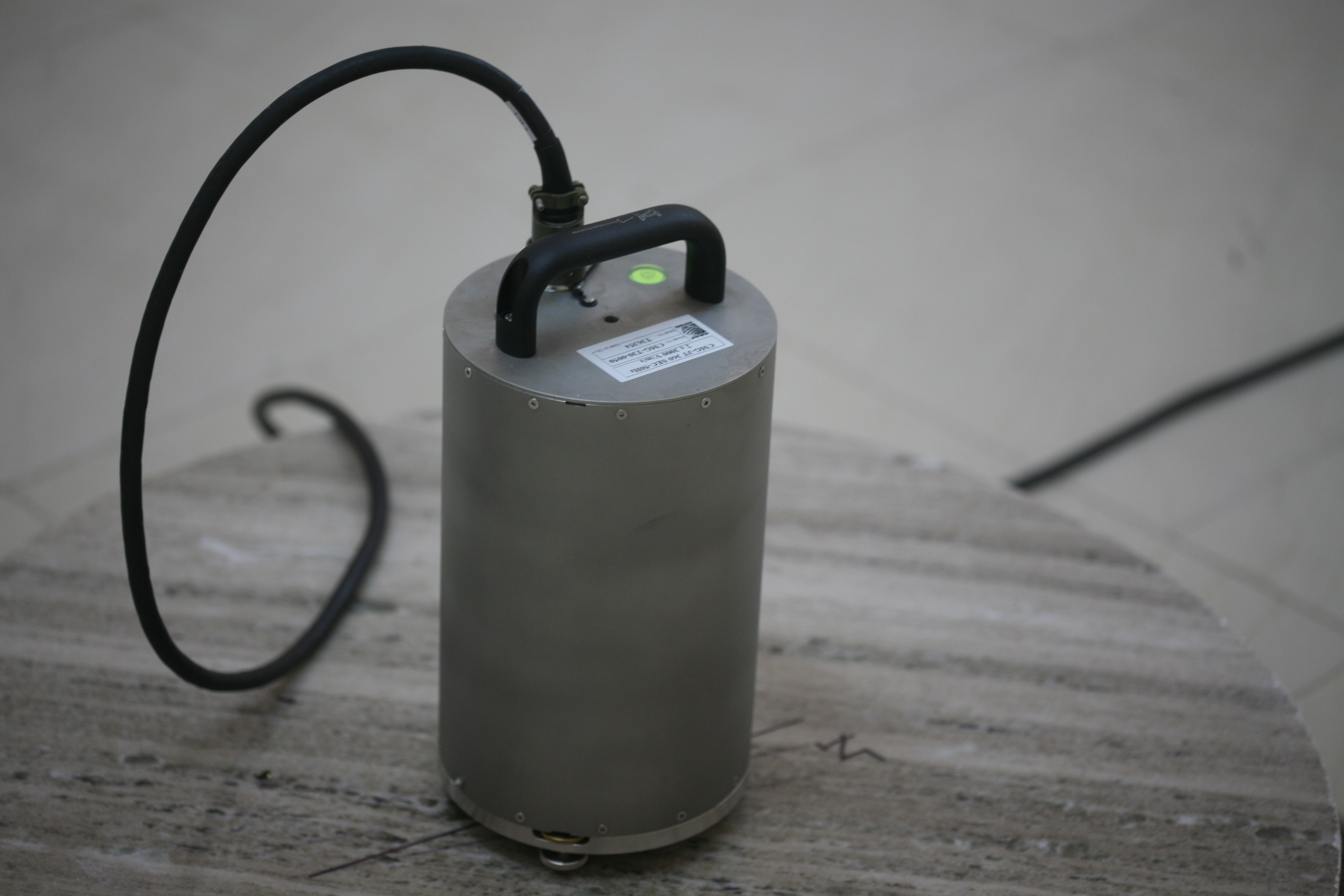
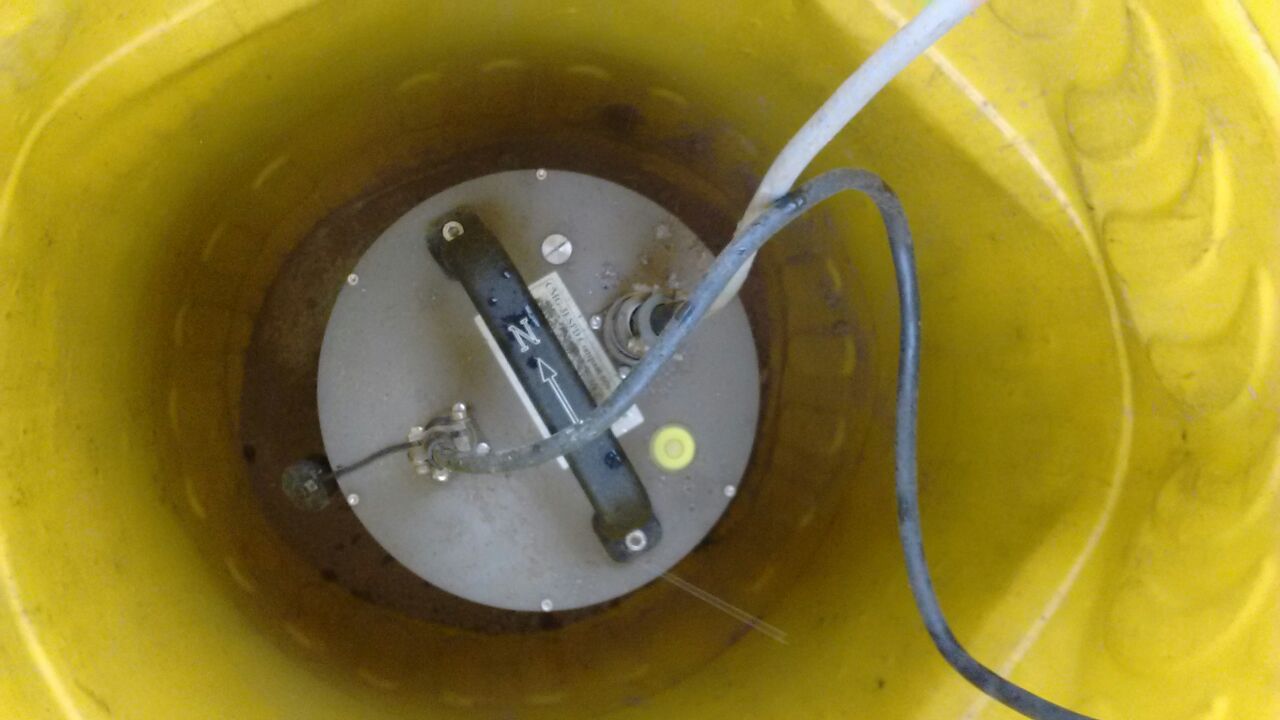
A major component of the IISER Kolkata Seismological Observatory is the 3-Component Broadband Seismograph system, deployed as a permanent station at Mohanpur. The deployment consist of:
- CMG-3T Seismometer (Flat velocity response between 360s and 50Hz)
- CMG-DM24 Digitizer
- EAM data logger with 80 Gb removable storage and network connectivity
- Global Positioning system (GPS) for location and timing.
Sikkim and Kashmir Himalaya Seismic Networks
A large network of broadband seismograph systems are currently operational in both Sikkim and Kashmir Himalaya with the objective of studying the 3-Dimensional Crust and Upper mantle structure and earthquake source in the Himalaya.
Computational Seismology Laboratory
High end computing and seismological data archival system forms the core of the computational facility at the observatory. The laboratory doubles up as a teaching and research facility for students of the Department of Earth Sciences.
Portable Seismograph Systems
We have a pool of portable seismograph systems consiting of CMG-3ESPCDs with 2Gb internal flash memory. These equipments are currently being used for the LIGO India project for seismic characterization of probable sites.
GIS Laboratory
The Geographic Information System (GIS) laboratory has been setup as a part of the observatory computational facility for traning undergraduate students in remote sensing and various geographic information system resources (eg. ERDAS Imagine 2011 and ArcView GIS 10.1 softwares). Using ERDAS and ArcView students study and analyze satellite images (of several wavelength bands) to extract features and prepare various geological maps as per their requirements. These resources are also used by research students from the department. Dr. Manoj Jaiswal is in charge of this facility.

